A mapping service with satellite imagery, street views and measurement tools that help you look at a property and its surroundings.
Google Maps offers satellite imagery, street views and a distance measuring tool. For crawl space projects it helps you see the roof lines that feed downspouts, the slope of the lot, nearby trees and where the access might be. Homeowners in Nashville can use it to estimate how far a discharge line could run and to share the layout with us before a visit.
We are an independent crawl space company and are not affiliated with Google. Maps images can be out of date and do not show slope well, so we always confirm conditions on site. We use it as a starting point for planning access, drainage routes and truck parking.
Visit the official Google Maps website
See the roof, yard and surrounding trees.
A look at the front of the home.
Estimate lengths for lines and routes.
Helps crews find your address.
Send a link or screenshot to us.
Basic features at no cost.
Plan your layout, size equipment or ballpark a budget.
 Crawl Space Layout StudioSet your space, then turn on a liner, wall liner, interior drain, sump pit, dehumidifier, posts and insulation to see a top-down plan with quantities, then send the plan to us.Try it
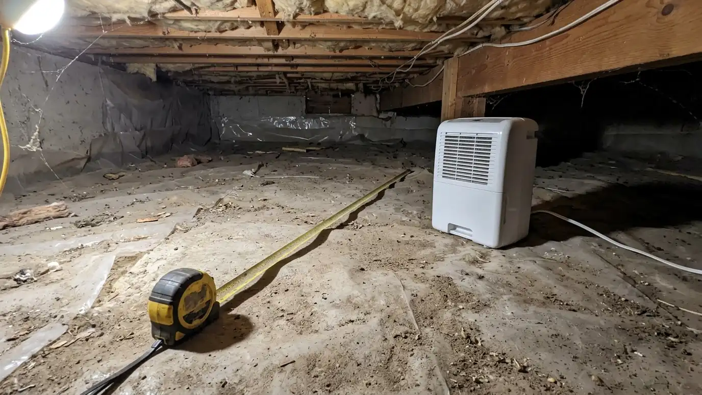 Dehumidifier and Sump Pump Sizing PickerPick your home type, set the floor area and tick conditions like standing water or humid summers to see the dehumidifier capacity and sump pump class that usually fit.Try it
 Crawl Space Project Budget PlannerPick encapsulation, a liner, a drain, a sump pump, a dehumidifier, insulation or repairs, set the size and add allowances like cleanout and battery backup to see a ballpark planning range. Placeholder values only.Try it
It helps with planning, but we confirm measurements on site.
Yes. A screenshot with notes helps us understand your yard.
No. We are an independent crawl space company and are not affiliated with Google. We use maps as a planning aid and confirm every detail on site.
 ResourceInterNACHIAn association of home inspectors that offers training, standards of practice and consumer information about inspecting homes, including…Learn more
 ResourceAmerican Society of Home InspectorsA professional association of home inspectors that publishes standards of practice, a code of ethics and guides for…Learn more
 ResourceBuilding Performance InstituteA national organization that develops standards and training for building performance work such as energy efficiency, air sealing…Learn more
 ResourceRESNETA nonprofit that develops standards for home energy ratings, including the HERS Index, and trains professionals who test…Learn more
Call us and describe what you notice. We will inspect, take readings and give you a clear written estimate.